About
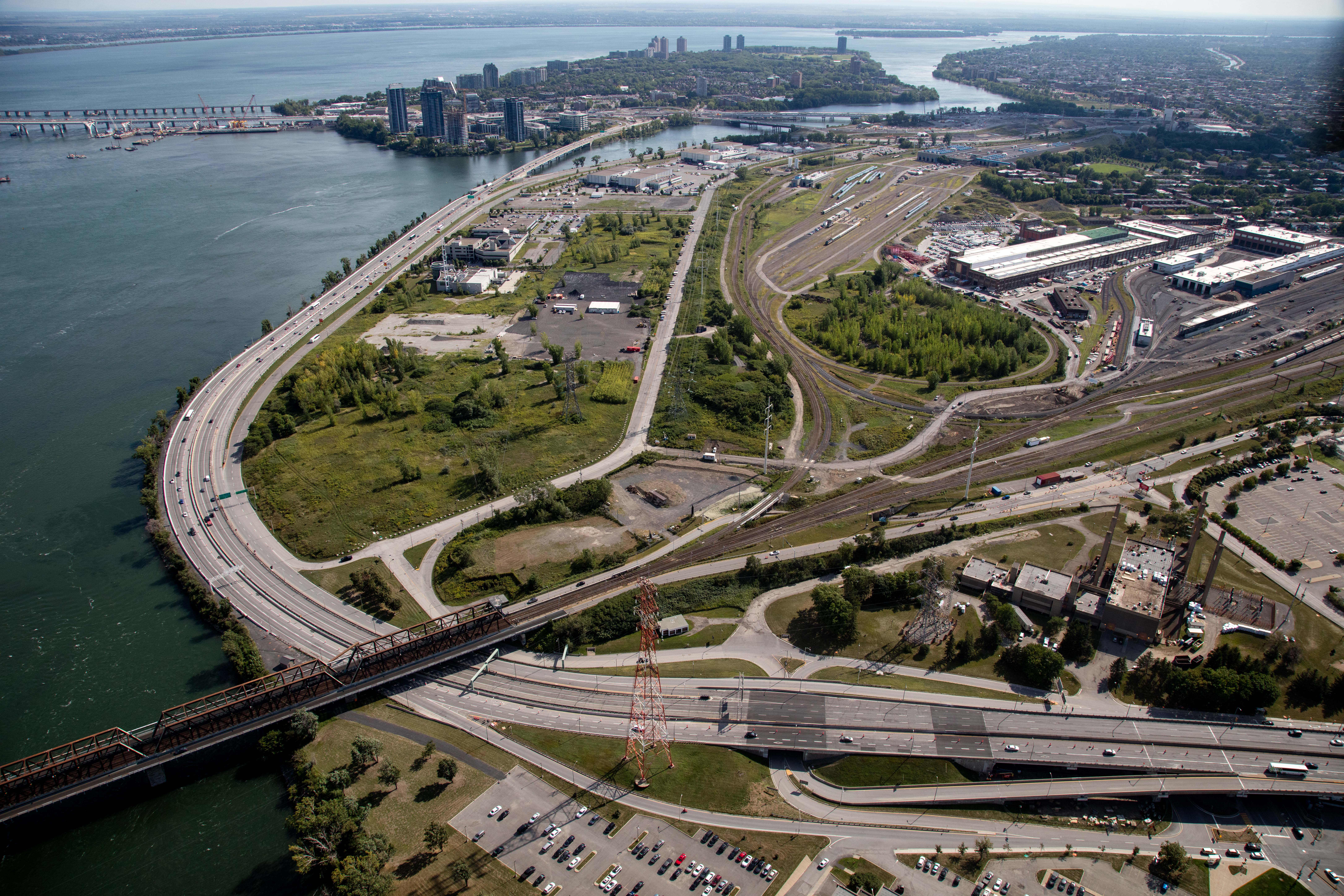
As a main gateway to the city, the Bonaventure sector has a vital economic importance for Montreal. It includes the federal section of the Bonaventure Expressway as well as the Clement Bridge.
In a nutshell
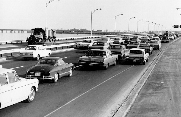
Opening of the Bonaventure Expressway: 1967
Traffic
- 3 lanes towards Montreal
- 3 lanes towards Samuel-De Champlain Bridge / A-15 N. | A-20 W.
- Speed limited to 70 km/h along the Hwy.
Trucks restrictions
- A maximum height of 4.4 m. to drive under the Victoria Bridge
- Any non-standard dimensions must be submitted to PJCCI
Technical data
Total length of the Bonaventure Expressway: 4.5 km
SECTION 10:
- This elevated section of the expressway starts over the Peel Basin of the Lachine Canal and ends at the Victoria Bridge
- Total length: 1.135 m
SECTION 11:
- This section starts west of the Victoria Bridge, runs along the St. Lawrence River, and ends before the Clément Bridge
- Total length: 1.111 m
SECTION 12:
- This section extends from Exit 4 to the north end of Gaétan-Laberge Boulevard
- Total length: 1.562 m *including the federal section of Gaétan-Laberge blvd
SECTION 13:
- This section consists of the Clément Bridge and the S viaduct. It also includes two other viaducts on île des Soeurs
- Length: 708 m
Clément Bridge
- Built in 1966, the Clément Bridge connects to the Bonaventure Expressway from île des Soeurs and the Samuel De Champlain Bridge
- This structure has eight spans, each consisting of thirteen precast prestressed concrete beams
- Its total length is 332.4 m, its width is approximately 20.5 m, and it has two traffic lanes in each direction
Île des Sœurs Bypass Bridge
- Opened to traffic in 2014.
- This temporary structure was used as a detour while the new Île des Sœurs Bridge was being built for the construction of the Samuel De Champlain Bridge.
- Disconnected from the road network in 2018, the bridge is now being deconstructed.


