About
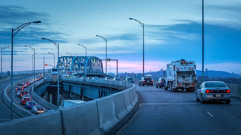
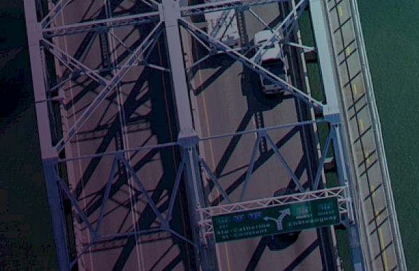
The Honoré Mercier Bridge crosses the St. Lawrence River and the seaway, on the west side of the Island of Montreal.
- Traffic is managed by the provincial government
- Four traffic lanes
- Speed limit: 70 km/h to Montreal and 70 km/h to the South Shore
Weekdays, mornings from 5:30 a.m. to 9:30 a.m.:
- Continuously: one lane open from Châteauguay
- Alternating (traffic lights): one lane open from Châteauguay or from La Prairie
- Two lanes open toward the South Shore
Daytime, evenings, nights, and weekends:
- Two lanes open towards the South Shore
- Two lanes open towards Montreal (one from Châteauguay and one from La Prairie)
Trucks: Authorized
Oversized trucks:
- Prohibited toward South Shore when overloaded
- License required toward Montreal
Vehicules of less than 50 cm3: Prohibited
Cyclists and pedestrians: Prohibited
Towing: Exclusive contract on the bridge
Monitoring:
- LaSalle: SPVM
- Kahnawà:ke: Peacekeepers
- Bridge deck: first on location (SQ, SPVM or Peacekeepers)
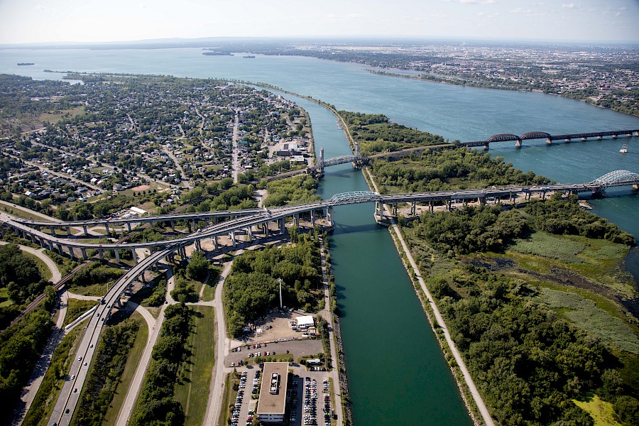
- Total length of the bridge: 1.4 km
- Federal sections: 1 961.1 m
- Provincial sections: 889.5 m upstream / 902.34 m downstream
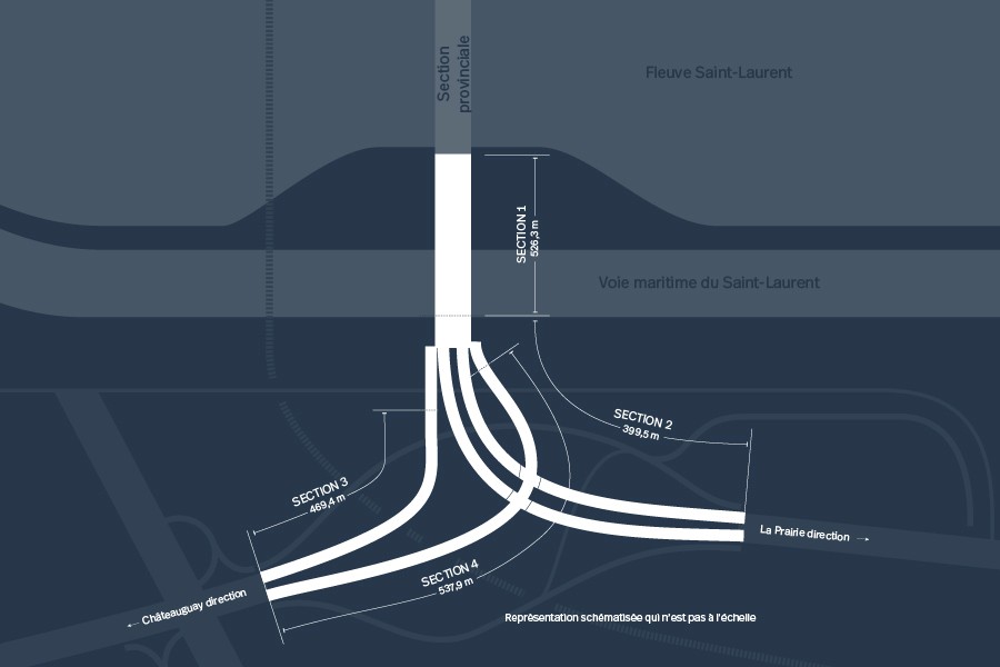
Section 1
Federal section
This section is located on the north side of the St. Lawrence Seaway between the provincial section of the bridge and the access ramps on the South Shore.
It starts upstream from Pier 14 and on the downstream side from Pier 15 and extends to the south bank of the St. Lawrence Seaway channel to Pier 28. Section 1 consists of four lane road, with two lanes in each direction.
- Number of spans: 14
- Length: 526.1 m
- Overall width: 19.8 m (4 lanes)
- Deck: High performance precast concrete with longitudinal post-tensioning
- Superstructure: Steel trusses
- Substructure: Concrete piers 14.5 m
Section 2
Federal section
Section 2 is called the “east divided road” or “La Prairie Ramp.” It is located between Pier 28 and the east abutment. The ramp supports four traffic lanes or two lanes in each direction.
- Number of spans: 16
- Length: 459.7 m
- Overall width: 19.4 m (4 lanes)
- Deck: High performance precast concrete with longitudinal post-tensioning
- Superstructure: Steel girders
- Substructure: Concrete piers 12.4 m
Section 3
Federal section
Section 3 is called the “single west road” or “ramp to Châteauguay.” It is located between Pier 31 (shared by Sections 2, 3 and 4) and the west abutment (shared by Sections 2, 3 and 4) and the west abutment (shared by Sections 3 and 4) and supports two lanes of bridge traffic heading to Châteauguay.
- Number of spans: 14
- Length: 469.4 m
- Overall width: 10.1 m (2 lanes)
- Deck: High performance precast concrete with longitudinal post-tensioning
- Superstructure: Steel girders
- Substructure: Concrete piers 14.3 m
Section 4
Federal section
Section 4 is called the “single east road” or “ramp from Châteauguay” and connects traffic coming from Châteauguay to the bridge. It is located between Pier 31 (shared by Sections 2, 3 and 4) and the west abutment (shared by Sections 3 and 4) and supports two lanes of traffic coming from Châteauguay to the bridge.
- Number of spans: 20
- Length: 537.9 m
- Overall width: 9.65 m (2 lanes)
- Deck: High performance precast concrete with longitudinal post-tensioning
- Superstructure: Steel girders
- Substructure: Concrete piers 15.3 m
Section 5
Provincial section
- Section on the western approach providing a connection with Route 138
- Length: 354.9 m
Section 6
Provincial section
- Section on the eastern approach providing with Route 132
- Length: 491. 2 m

Any questions?