Planned hindrances

Wed
29 Jul
Thu
30 Jul
Fri
31 Jul
Sat
01 Aug
Sun
02 Aug
Mon
03 Aug
Tue
04 Aug
Wed
05 Aug
Thu
06 Aug
Fri
07 Aug
Sat
08 Aug
Sun
09 Aug
Mon
10 Aug
Tue
11 Aug
Closure
From July 29, 10:00 pm to July 30, 5:00 am
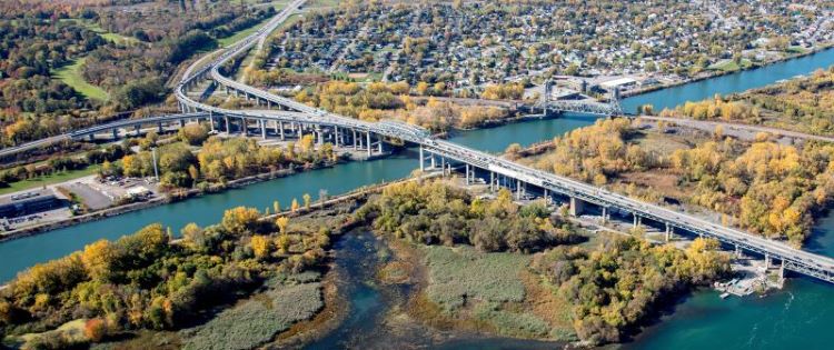
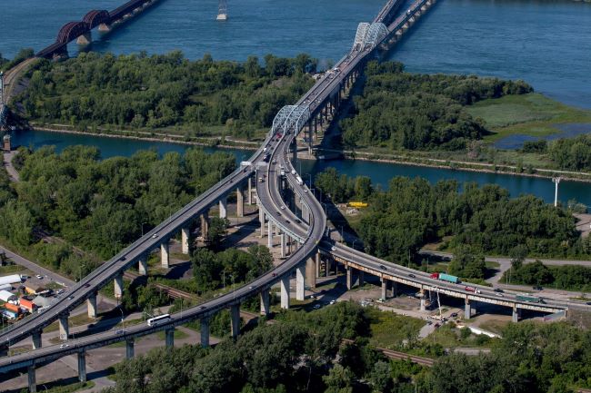
Night closure of access and exit ramps of the Honoré Mercier Bridge
See detour map
Closure
From July 29, 10:00 pm to July 30, 5:00 am
Night closure of access and exit ramps of the Honoré Mercier Bridge
See detour map